Geolocate

Elephant Point topographic map

Interactive map

Click on the map to display elevation.

About this map

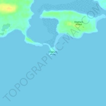
Name: Elephant Point topographic map, elevation, terrain.

Location: Elephant Point, Falkland Islands (-51.89440 -58.31241 -51.87440 -58.29241)

Average elevation: 2 m

Minimum elevation: 0 m

Maximum elevation: 21 m

Other topographic maps

Click on a map to view its topography, its elevation and its terrain.

Stanley

Falkland Islands

Stanley, Falkland Islands

Average elevation: 19 m

East Falkland

Falkland Islands

East Falkland, Islas Malvinas, Falkland Islands

Average elevation: 24 m

Mount Usborne

Falkland Islands

Mount Usborne, Islas Malvinas, Falkland Islands

Average elevation: 459 m

West Falkland

Falkland Islands

West Falkland, Islas Malvinas, Falkland Islands

Average elevation: 32 m