
Quilly topographic map
Interactive map
Click on the map to display elevation.
About this map
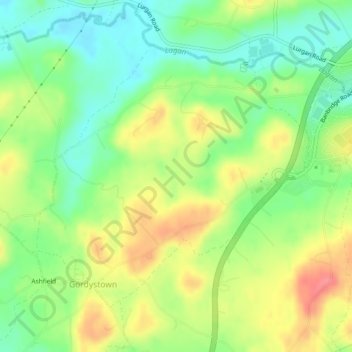
Name: Quilly topographic map, elevation, terrain.
Average elevation: 92 m
Minimum elevation: 59 m
Maximum elevation: 132 m
Other topographic maps
Click on a map to view its topography, its elevation and its terrain.
Skillyscolban
Royaume-Uni > Irlande du Nord > Mullan's Corner
Skillyscolban, Mullan's Corner, County Down, Irlande du Nord, Royaume-Uni
Average elevation: 102 m