
Hinuera topographic map
Interactive map
Click on the map to display elevation.
About this map
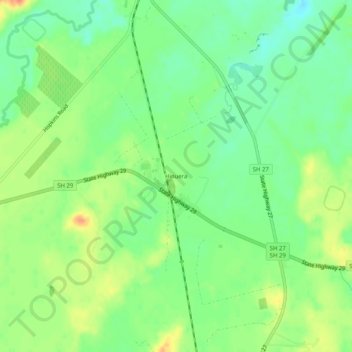
Name: Hinuera topographic map, elevation, terrain.
Location: Hinuera, Matamata Piako District, Waikato, New Zealand (-37.89990 175.74087 -37.85990 175.78087)
Average elevation: 84 m
Minimum elevation: 63 m
Maximum elevation: 111 m