
Foynes topographic map
Interactive map
Click on the map to display elevation.
About this map
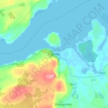
Name: Foynes topographic map, elevation, terrain.
Location: Foynes, County Limerick, Munster, Ireland (52.57114 -9.15095 52.65114 -9.07095)
Average elevation: 34 m
Minimum elevation: -4 m
Maximum elevation: 167 m