
Gort topographic map
Interactive map
Click on the map to display elevation.
About this map
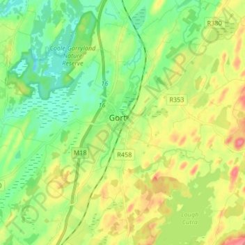
Name: Gort topographic map, elevation, terrain.
Location: Gort, County Galway, Connacht, H91 C85C, Ireland (53.02527 -8.85677 53.10527 -8.77677)
Average elevation: 29 m
Minimum elevation: 2 m
Maximum elevation: 70 m