
Lindholm topographic map
Interactive map
Click on the map to display elevation.
About this map
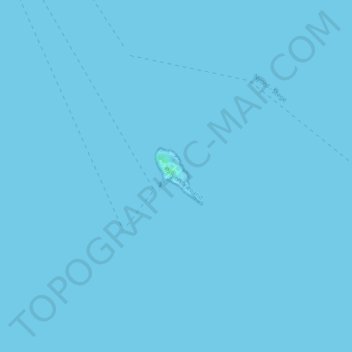
Name: Lindholm topographic map, elevation, terrain.
Location: Lindholm, Vordingborg Municipality, Region Zealand, Denmark (55.00397 12.22083 55.00831 12.22711)
Average elevation: 0 m
Minimum elevation: 0 m
Maximum elevation: 4 m
Other topographic maps
Click on a map to view its topography, its elevation and its terrain.
Snap-ind
Denmark > Region Zealand > Snap-ind
Snap-ind, Lolland Municipality, Region Zealand, 4941, Denmark
Average elevation: 4 m
Falster
Falster, Guldborgsund Municipality, Region Zealand, Denmark
Average elevation: 3 m
Zealand
Zealand, Holbæk Municipality, Region Zealand, Denmark
Average elevation: 12 m
Lolland
Lolland, Lolland Municipality, Region Zealand, Denmark
Average elevation: 2 m
Omø
Omø, Slagelse Municipality, Region Zealand, 4245, Denmark
Average elevation: 1 m