
Trichardtsfontein Dam topographic map
Interactive map
Click on the map to display elevation.
About this map
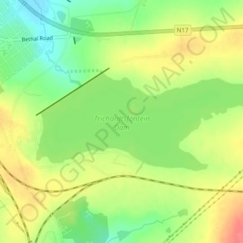
Name: Trichardtsfontein Dam topographic map, elevation, terrain.
Average elevation: 1,636 m
Minimum elevation: 1,604 m
Maximum elevation: 1,669 m
Other topographic maps
Click on a map to view its topography, its elevation and its terrain.
Grootspruit
RSA > Mpumalanga > Govan Mbeki
Grootspruit, Govan Mbeki, Gert Sibande, Mpumalanga, RSA
Average elevation: 1,568 m