
Mount Kenya topographic map
Interactive map
Click on the map to display elevation.
About this map
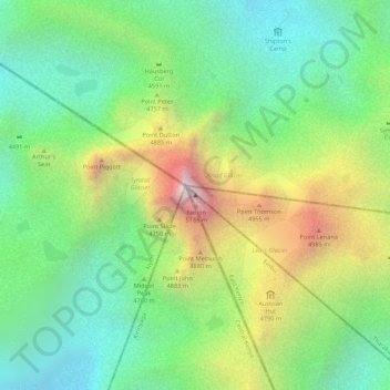
Name: Mount Kenya topographic map, elevation, terrain.
Location: Mount Kenya, Embu, East Kenya, Kenya (-0.15276 37.30916 -0.15266 37.30926)
Average elevation: 4,556 m
Minimum elevation: 4,181 m
Maximum elevation: 5,149 m
The glaciers on Mount Kenya are retreating rapidly. The Mountain Club of Kenya in Nairobi has photographs showing the mountain at the time of the first recorded ascent in 1899, and again more recently; the retreat of the glaciers is very evident. Descriptions of ascents of several of the peaks advise the use of crampons, but this is true only in some cases and at higher elevations. Every year there is less new snow accumulating in winter than melting in summer, even on the Lewis Glacier (the largest of them) in winter, so there is no formation of new ice. It is predicted to be less than 30 years before there will no longer be ice on Mount Kenya. Glacial retreat and disappearance can be caused by changes in temperature trends, or by a change in precipitation trends.