
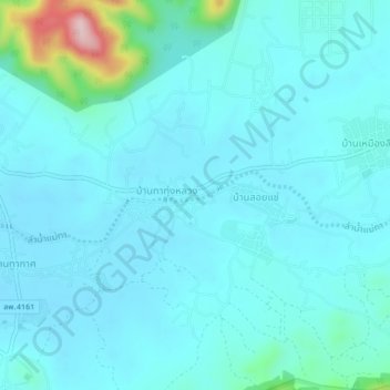
บ้านทาทุ่งหลวง topographic map
Interactive map
Click on the map to display elevation.
About this map
Name: บ้านทาทุ่งหลวง topographic map, elevation, terrain.
Location: บ้านทาทุ่งหลวง, จังหวัดลำพูน, Thailand (18.40143 98.99315 18.44143 99.03315)
Average elevation: 365 m
Minimum elevation: 333 m
Maximum elevation: 596 m