
Kalapet topographic map
Interactive map
Click on the map to display elevation.
About this map
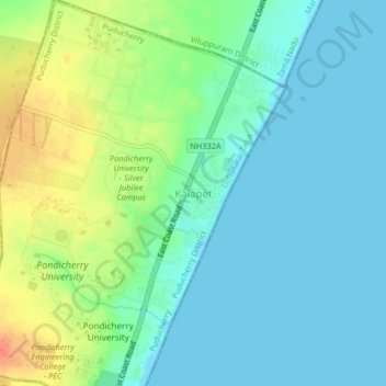
Name: Kalapet topographic map, elevation, terrain.
Location: Kalapet, Puducherry district, Puducherry, 605014, India (12.01084 79.84484 12.05084 79.88484)
Average elevation: 14 m
Minimum elevation: -1 m
Maximum elevation: 45 m