
Dębniki topographic map
Interactive map
Click on the map to display elevation.
About this map
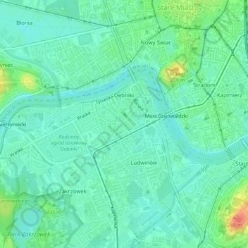
Name: Dębniki topographic map, elevation, terrain.
Location: Dębniki, Krakow, Lesser Poland Voivodeship, Poland (50.04295 19.90896 50.05445 19.93421)
Average elevation: 208 m
Minimum elevation: 195 m
Maximum elevation: 246 m
Other topographic maps
Click on a map to view its topography, its elevation and its terrain.
Krakow
Poland > Lesser Poland Voivodeship > Krakow
Krakow, Lesser Poland Voivodeship, Poland
Average elevation: 263 m