
Mafikeng Game Reserve topographic map
Interactive map
Click on the map to display elevation.
About this map
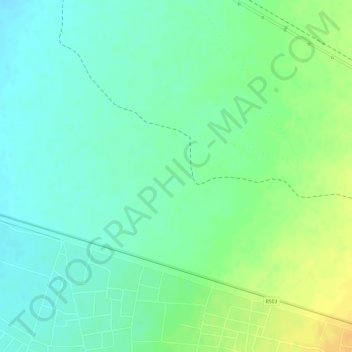
Name: Mafikeng Game Reserve topographic map, elevation, terrain.
Average elevation: 1,334 m
Minimum elevation: 1,321 m
Maximum elevation: 1,351 m
Other topographic maps
Click on a map to view its topography, its elevation and its terrain.
Mahikeng Ward 21
RSA > North West > Mahikeng Local Municipality
Mahikeng Ward 21, Mahikeng Local Municipality, Ngaka Modiri Molema District Municipality, North West, RSA
Average elevation: 1,308 m
Disaneng Dam
RSA > North West > Mahikeng Local Municipality
Disaneng Dam, Mahikeng Ward 2, Mahikeng Local Municipality, Ngaka Modiri Molema District Municipality, North West, RSA
Average elevation: 1,202 m
Mareetsane
RSA > North West > Mahikeng Local Municipality
Mareetsane, Mahikeng Local Municipality, Ngaka Modiri Molema District Municipality, North West, RSA
Average elevation: 1,330 m