
Finnmark topographic map
Interactive map
Click on the map to display elevation.
About this map
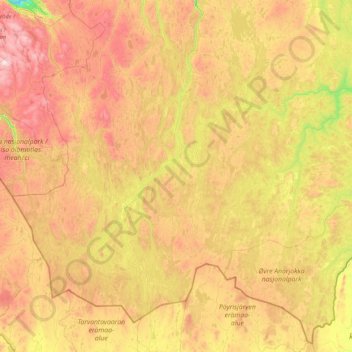
Name: Finnmark topographic map, elevation, terrain.
Location: Guovdageaidnu, Finnmark, 9520, Norway (68.55459 21.98395 69.71296 25.40160)
Average elevation: 457 m
Minimum elevation: 0 m
Maximum elevation: 1,320 m
Other topographic maps
Click on a map to view its topography, its elevation and its terrain.