
Sandfort topographic map
Interactive map
Click on the map to display elevation.
About this map
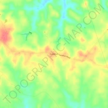
Name: Sandfort topographic map, elevation, terrain.
Location: Sandfort, Russell County, Alabama, United States (32.31820 -85.24327 32.35820 -85.20327)
Average elevation: 135 m
Minimum elevation: 104 m
Maximum elevation: 167 m