
Virdnejávri topographic map
Interactive map
Click on the map to display elevation.
About this map
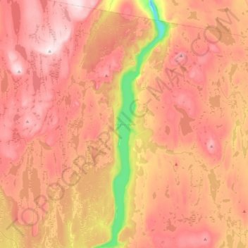
Name: Virdnejávri topographic map, elevation, terrain.
Location: Virdnejávri, Guovdageaidnu, Finnmark, Norway (69.56438 23.73388 69.70515 23.84453)
Average elevation: 468 m
Minimum elevation: 182 m
Maximum elevation: 648 m
Other topographic maps
Click on a map to view its topography, its elevation and its terrain.