
Antelope County topographic map
Interactive map
Click on the map to display elevation.
About this map
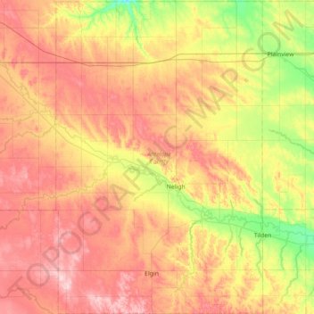
Name: Antelope County topographic map, elevation, terrain.
Location: Antelope County, Nebraska, United States of America (41.91532 -98.30000 42.43959 -97.83282)
Average elevation: 568 m
Minimum elevation: 477 m
Maximum elevation: 661 m
Other topographic maps
Click on a map to view its topography, its elevation and its terrain.
Blaine County
United States of America > Nebraska
Blaine County, Nebraska, United States of America
Average elevation: 807 m