
Holsloot topographic map
Interactive map
Click on the map to display elevation.
About this map
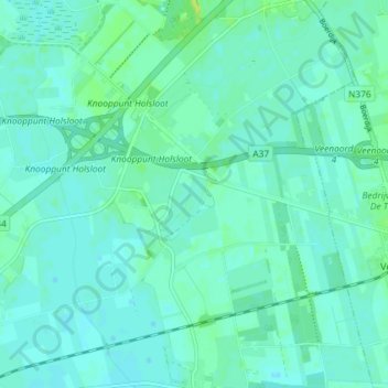
Name: Holsloot topographic map, elevation, terrain.
Location: Holsloot, Coevorden, Drenthe, Netherlands (52.69957 6.77712 52.74347 6.84087)
Average elevation: 13 m
Minimum elevation: 9 m
Maximum elevation: 23 m