
Dovre topographic map
Interactive map
Click on the map to display elevation.
About this map
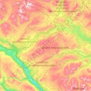
Name: Dovre topographic map, elevation, terrain.
Location: Dovre, Innlandet, Norway (61.88630 9.01028 62.34313 9.92820)
Average elevation: 1,195 m
Minimum elevation: 422 m
Maximum elevation: 2,260 m
Other topographic maps
Click on a map to view its topography, its elevation and its terrain.