
Block Island topographic map
Interactive map
Click on the map to display elevation.
About this map
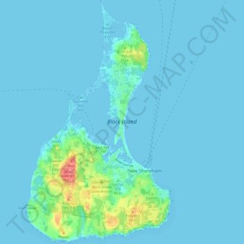
Name: Block Island topographic map, elevation, terrain.
Location: Block Island, New Shoreham, Washington, Rhode Island, USA (41.14619 -71.61287 41.23241 -71.54403)
Average elevation: 5 m
Minimum elevation: -3 m
Maximum elevation: 59 m