
Rob Roy topographic map
Interactive map
Click on the map to display elevation.
About this map
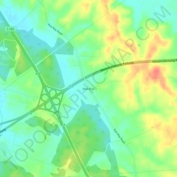
Name: Rob Roy topographic map, elevation, terrain.
Location: Rob Roy, Ohio County, Kentucky, 42333, United States (37.36699 -86.81832 37.40699 -86.77832)
Average elevation: 143 m
Minimum elevation: 122 m
Maximum elevation: 173 m