
Wentworth topographic map
Interactive map
Click on the map to display elevation.
About this map
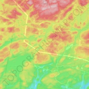
Name: Wentworth topographic map, elevation, terrain.
Location: Wentworth, Argenteuil, Laurentides, Quebec, Canada (45.74002 -74.44097 45.84722 -74.30856)
Average elevation: 323 m
Minimum elevation: 208 m
Maximum elevation: 453 m