
Blue Mountain Peak topographic map
Interactive map
Click on the map to display elevation.
About this map
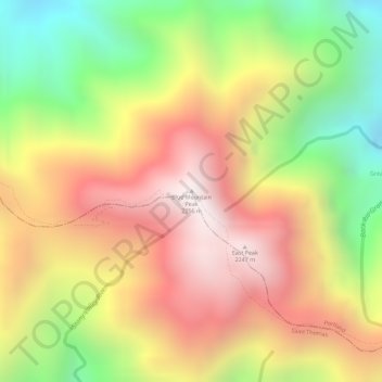
Name: Blue Mountain Peak topographic map, elevation, terrain.
Location: Blue Mountain Peak, Portland, Surrey County, Jamaica (18.04701 -76.57898 18.04711 -76.57888)
Average elevation: 1,808 m
Minimum elevation: 1,278 m
Maximum elevation: 2,234 m
Other topographic maps
Click on a map to view its topography, its elevation and its terrain.
Rose Bank
Jamaica > Westmoreland > Rose Bank
Rose Bank, Westmoreland, Cornwall County, Jamaica
Average elevation: 366 m