
Waku Kungo topographic map
Interactive map
Click on the map to display elevation.
About this map
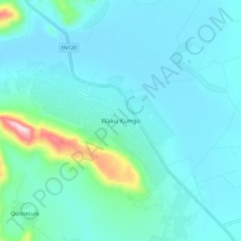
Name: Waku Kungo topographic map, elevation, terrain.
Location: Waku Kungo, Cuanza Sul, Angola (-11.40343 15.08078 -11.32343 15.16078)
Average elevation: 1,332 m
Minimum elevation: 1,271 m
Maximum elevation: 1,749 m