
Wum topographic map
Interactive map
Click on the map to display elevation.
About this map
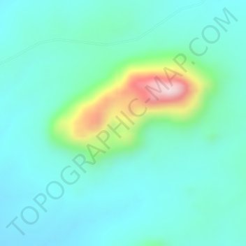
Name: Wum topographic map, elevation, terrain.
Location: Wum, Fufore, Adamawa, Nigeria (8.94995 12.38328 8.95005 12.38338)
Average elevation: 414 m
Minimum elevation: 332 m
Maximum elevation: 691 m
Other topographic maps
Click on a map to view its topography, its elevation and its terrain.