
Jazirat Maghaghah topographic map
Interactive map
Click on the map to display elevation.
About this map
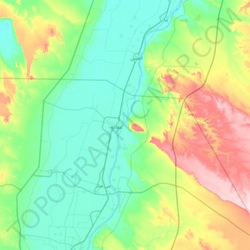
Name: Jazirat Maghaghah topographic map, elevation, terrain.
Location: Jazirat Maghaghah, Markaz Samalut, Minya Governate, Egypt (28.33000 30.54667 28.97000 31.18667)
Average elevation: 103 m
Minimum elevation: 23 m
Maximum elevation: 341 m
Other topographic maps
Click on a map to view its topography, its elevation and its terrain.
Jazirat Sharunah
Egypt > Minya Governate > Jazirat Sharunah
Jazirat Sharunah, Markaz Samalut, Minya Governate, Egypt
Average elevation: 35 m