
Marion Island topographic map
Interactive map
Click on the map to display elevation.
About this map
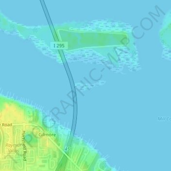
Name: Marion Island topographic map, elevation, terrain.
Location: Marion Island, Jacksonville, Duval County, Florida, USA (30.37205 -81.55186 30.37393 -81.54580)
Average elevation: 3 m
Minimum elevation: -4 m
Maximum elevation: 20 m
Other topographic maps
Click on a map to view its topography, its elevation and its terrain.
Dawson Island
USA > Florida > Jacksonville
Dawson Island, Jacksonville, Duval County, Florida, USA
Average elevation: 2 m