
Fort Fordyce Nature Reserve topographic map
Interactive map
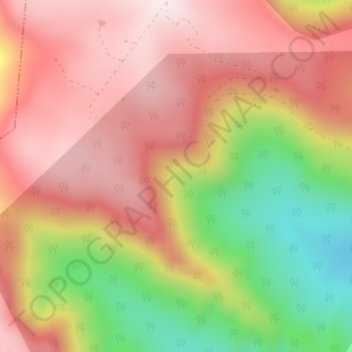
Click on the map to display elevation.
About this map
Name: Fort Fordyce Nature Reserve topographic map, elevation, terrain.
Average elevation: 963 m
Minimum elevation: 651 m
Maximum elevation: 1,176 m
Other topographic maps
Click on a map to view its topography, its elevation and its terrain.
Kat River
RSA > Eastern Cape > Nkonkobe Local Municipality
Kat River, Nkonkobe Local Municipality, Amathole District Municipality, Eastern Cape, RSA
Average elevation: 362 m
Gaika’s Kop
RSA > Eastern Cape > Nkonkobe Local Municipality
Gaika’s Kop, Nkonkobe Local Municipality, Amathole District Municipality, Eastern Cape, RSA
Average elevation: 1,583 m