
Kjerkeberget topographic map
Interactive map
Click on the map to display elevation.
About this map
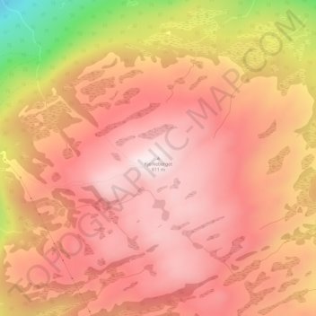
Name: Kjerkeberget topographic map, elevation, terrain.
Location: Kjerkeberget, Tingvoll, Møre og Romsdal, 6630, Norway (62.90102 8.25300 62.90112 8.25310)
Average elevation: 447 m
Minimum elevation: 75 m
Maximum elevation: 610 m
Other topographic maps
Click on a map to view its topography, its elevation and its terrain.