
Buntești topographic map
Interactive map
Click on the map to display elevation.
About this map
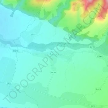
Name: Buntești topographic map, elevation, terrain.
Location: Buntești, Bihor, 417115, Romania (46.59280 22.44856 46.63280 22.48856)
Average elevation: 259 m
Minimum elevation: 223 m
Maximum elevation: 385 m