
Wells County topographic map
Interactive map
Click on the map to display elevation.
About this map
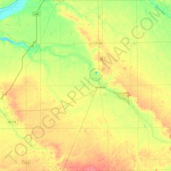
Name: Wells County topographic map, elevation, terrain.
Location: Wells County, Indiana, United States of America (40.56702 -85.44770 40.91766 -85.06893)
Average elevation: 255 m
Minimum elevation: 226 m
Maximum elevation: 285 m
Other topographic maps
Click on a map to view its topography, its elevation and its terrain.
Indianapolis
United States of America > Indiana > Indianapolis
Indianapolis, Marion, Indiana, United States of America
Average elevation: 241 m
South Bend
United States of America > Indiana > South Bend
South Bend, Saint Joseph County, Indiana, United States of America
Average elevation: 236 m
Bloomington
United States of America > Indiana > Bloomington
Bloomington, Monroe County, Indiana, United States of America
Average elevation: 241 m
Carmel
United States of America > Indiana > Carmel
Carmel, Hamilton County, Indiana, United States of America
Average elevation: 253 m