
Sungai Udang topographic map
Interactive map
Click on the map to display elevation.
About this map
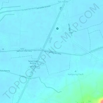
Name: Sungai Udang topographic map, elevation, terrain.
Location: Sungai Udang, Yan, Kedah, 06900, Malaysia (5.81242 100.36857 5.81447 100.39706)
Average elevation: 6 m
Minimum elevation: -1 m
Maximum elevation: 70 m
Other topographic maps
Click on a map to view its topography, its elevation and its terrain.