
Kecamatan Rangsang topographic map
Interactive map
Click on the map to display elevation.
About this map
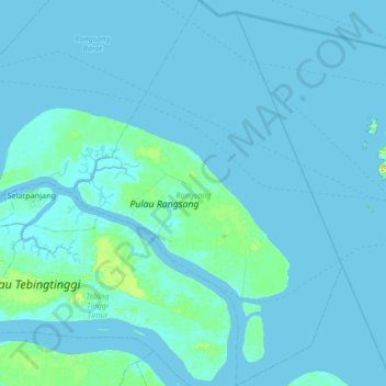
Name: Kecamatan Rangsang topographic map, elevation, terrain.
Location: Kecamatan Rangsang, Meranti Islands Regency, Riau, Indonesia (0.67703 102.78062 1.36290 103.24873)
Average elevation: 3 m
Minimum elevation: -1 m
Maximum elevation: 65 m
Other topographic maps
Click on a map to view its topography, its elevation and its terrain.