
Tanjung Rambutan topographic map
Interactive map
Click on the map to display elevation.
About this map
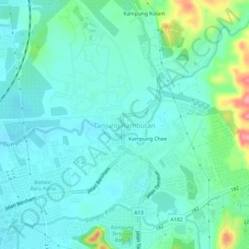
Name: Tanjung Rambutan topographic map, elevation, terrain.
Location: Tanjung Rambutan, Perak, 31150, Malaysia (4.65035 101.13686 4.69035 101.17686)
Average elevation: 83 m
Minimum elevation: 59 m
Maximum elevation: 176 m