
Sea Level topographic map
Interactive map
Click on the map to display elevation.
About this map
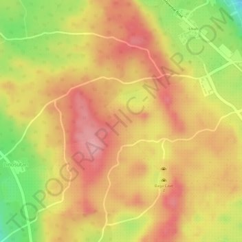
Name: Sea Level topographic map, elevation, terrain.
Average elevation: 91 m
Minimum elevation: 0 m
Maximum elevation: 139 m
Other topographic maps
Click on a map to view its topography, its elevation and its terrain.
Nanaga
Philippines > Davao del Norte > Sto. Niño > Nanaga
Nanaga, Sto. Niño, Davao del Norte, Davao Region, Philippines
Average elevation: 92 m