
Our topographic map
Interactive map
Click on the map to display elevation.
About this map
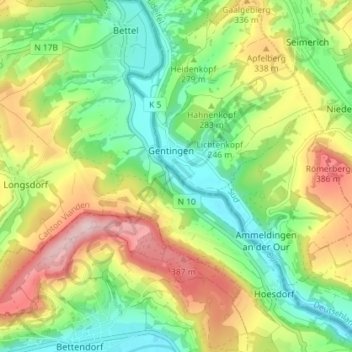
Name: Our topographic map, elevation, terrain.
Location: Our, Bettel, Tandel, Canton Vianden, Luxembourg (49.87503 6.22694 49.92115 6.28707)
Average elevation: 279 m
Minimum elevation: 178 m
Maximum elevation: 429 m