
Tanna topographic map
Interactive map
Click on the map to display elevation.
About this map
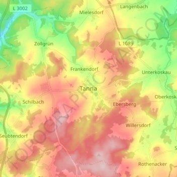
Name: Tanna topographic map, elevation, terrain.
Location: Tanna, Saale-Orla-Kreis, Thuringia, 07922, Germany (50.45453 11.82186 50.53453 11.90186)
Average elevation: 556 m
Minimum elevation: 447 m
Maximum elevation: 654 m