
Lincoln County topographic map
Interactive map
Click on the map to display elevation.
About this map
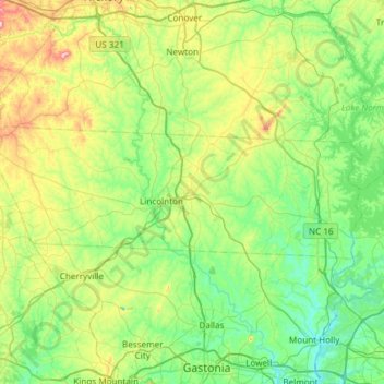
Name: Lincoln County topographic map, elevation, terrain.
Location: Lincoln County, North Carolina, United States of America (35.40009 -81.53760 35.56815 -80.93967)
Average elevation: 266 m
Minimum elevation: 173 m
Maximum elevation: 544 m
Other topographic maps
Click on a map to view its topography, its elevation and its terrain.