
Island view topographic map
Interactive map
Click on the map to display elevation.
About this map
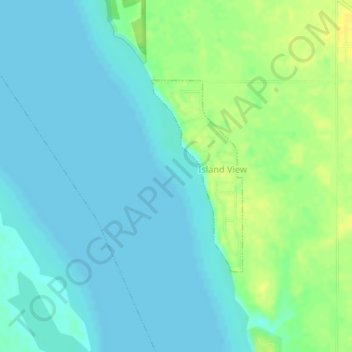
Name: Island view topographic map, elevation, terrain.
Location: Island view, Saskatchewan, Canada (50.96468 -105.17892 50.97938 -105.15879)
Average elevation: 494 m
Minimum elevation: 487 m
Maximum elevation: 507 m