
Safsaf topographic map
Interactive map
Click on the map to display elevation.
About this map
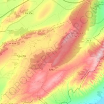
Name: Safsaf topographic map, elevation, terrain.
Location: Safsaf, Bouguirat District, Mostaganem, Algeria (35.80067 0.33748 35.93131 0.47113)
Average elevation: 302 m
Minimum elevation: 50 m
Maximum elevation: 515 m