
Sandy topographic map
Interactive map
Click on the map to display elevation.
About this map
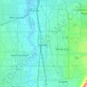
Name: Sandy topographic map, elevation, terrain.
Location: Sandy, Salt Lake County, Utah, United States (40.52766 -111.92162 40.61801 -111.77702)
Average elevation: 1,570 m
Minimum elevation: 1,307 m
Maximum elevation: 3,198 m