
Yoshkar-Ola topographic map
Interactive map
Click on the map to display elevation.
About this map
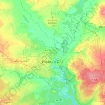
Name: Yoshkar-Ola topographic map, elevation, terrain.
Location: Yoshkar-Ola, Mari El, Volga Federal District, Russia (56.58296 47.80840 56.71155 48.12403)
Average elevation: 103 m
Minimum elevation: 75 m
Maximum elevation: 153 m