
Nyanga topographic map
Interactive map
Click on the map to display elevation.
About this map
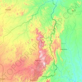
Name: Nyanga topographic map, elevation, terrain.
Location: Nyanga, Manicaland Province, Zimbabwe (-18.58681 32.38005 -17.24838 33.05410)
Average elevation: 1,033 m
Minimum elevation: 459 m
Maximum elevation: 2,538 m
Other topographic maps
Click on a map to view its topography, its elevation and its terrain.
Madya
Zimbabwe > Manicaland Province > Buhera > Madya
Madya, Buhera, Manicaland Province, Zimbabwe
Average elevation: 953 m