
Pleasant Prairie topographic map
Interactive map
Click on the map to display elevation.
About this map
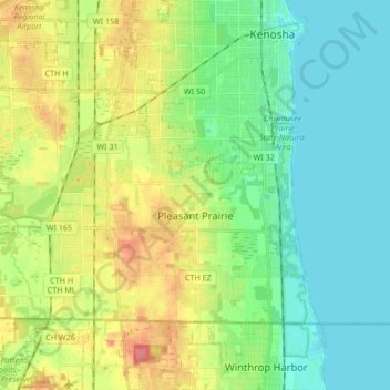
Name: Pleasant Prairie topographic map, elevation, terrain.
Location: Pleasant Prairie, Kenosha County, Wisconsin, United States (42.49265 -87.96848 42.57425 -87.80044)
Average elevation: 199 m
Minimum elevation: 174 m
Maximum elevation: 247 m