
Spruit topographic map
Interactive map
Click on the map to display elevation.
About this map
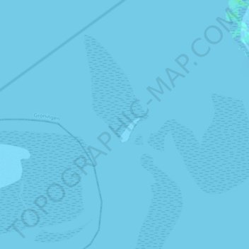
Name: Spruit topographic map, elevation, terrain.
Location: Spruit, Warffum, Het Hogeland, Groningen, Netherlands (53.49645 6.41848 53.54480 6.43876)
Average elevation: 0 m
Minimum elevation: -3 m
Maximum elevation: 4 m