
Charleston topographic map
Interactive map
Click on the map to display elevation.
About this map
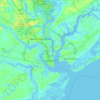
Name: Charleston topographic map, elevation, terrain.
Location: Charleston, Charleston County, South Carolina, United States (32.66851 -80.14385 32.97352 -79.79706)
Average elevation: 4 m
Minimum elevation: -5 m
Maximum elevation: 23 m