
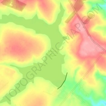
Jericho Dam topographic map
Interactive map
Click on the map to display elevation.
About this map
Name: Jericho Dam topographic map, elevation, terrain.
Average elevation: 1,479 m
Minimum elevation: 1,417 m
Maximum elevation: 1,525 m
Other topographic maps
Click on a map to view its topography, its elevation and its terrain.
Sheepmoor
South Africa > Mpumalanga > Gert Sibande District Municipality > Msukaligwa
Average elevation: 1,458 m