
Hilo topographic map
Interactive map
Click on the map to display elevation.
About this map
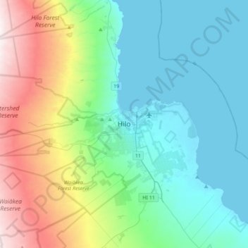
Name: Hilo topographic map, elevation, terrain.
Location: Hilo, Hawaiʻi County, Hawaii, USA (19.54724 -155.24164 19.86724 -154.92164)
Average elevation: 313 m
Minimum elevation: 0 m
Maximum elevation: 1,254 m