
Salt River topographic map
Interactive map
Click on the map to display elevation.
About this map
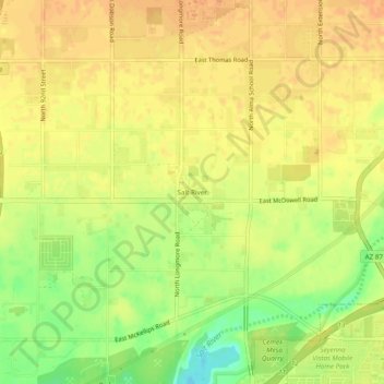
Name: Salt River topographic map, elevation, terrain.
Location: Salt River, Maricopa County, Arizona, 85265, United States (33.44671 -111.88403 33.48671 -111.84403)
Average elevation: 372 m
Minimum elevation: 347 m
Maximum elevation: 384 m
Salt River is a populated place situated in Maricopa County, Arizona, United States. It has an estimated elevation of 1,220 feet (370 m) above sea level. Salt River is named after the Salt River on the north bank of which it is situated, east of Phoenix and near Lehi. The post office opened in 1912 and was originally named Saltriver, but was changed to the two-word version when the post office moved to Scottsdale in 1916.