
Phakalane topographic map
Interactive map
Click on the map to display elevation.
About this map
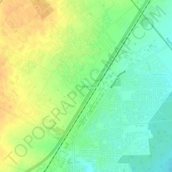
Name: Phakalane topographic map, elevation, terrain.
Location: Phakalane, South-East District, Botswana (-24.57203 25.95864 -24.53203 25.99864)
Average elevation: 987 m
Minimum elevation: 972 m
Maximum elevation: 1,001 m