
Antwerp topographic map
Interactive map
Click on the map to display elevation.
About this map
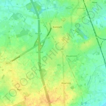
Name: Antwerp topographic map, elevation, terrain.
Location: Antwerp, Flanders, 2550, Belgium (51.09302 4.39645 51.14983 4.48653)
Average elevation: 18 m
Minimum elevation: 5 m
Maximum elevation: 32 m